Crossing Districts
West Delhi
Purpose and Objectives
Purpose and Objectives
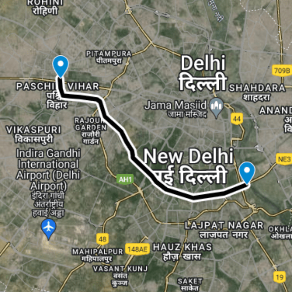
This route aims to improve traffic flow between Nihal Vihar and Ambica Vihar, two bustling areas in West Delhi. It seeks to reduce travel times, minimize congestion, and enhance accessibility for daily commuters and local traffic, supporting smoother movement in a densely populated part of the city.
Route Map
DC Nihal Vihar to Ambica Vihar
1
Starting Point: Nihal Vihar
Latitude and longitude: 28.66434, 77.06879
2
Mid Point: Passing on Namdhari Colony, Nangloi
Latitude and longitude: 28.66351, 77.0717
3
Ending Point: Ambica Vihar
Latitude and longitude: 28.66223, 77.07957
Benefits
Traffic Benefits
This route achieves a significant reduction in travel time, from 6 minutes down to just 1 minute, equating to a savings of 83%. The shortening of the route by 0.32 kilometers in real-time distance also means less fuel consumption and reduced emissions. By providing a faster alternative, the route lessens the load on adjacent roads, potentially decreasing overall traffic stress in the area.
Conclusion
The DC Nihal Vihar to Ambica Vihar route exemplifies effective urban transport planning in West Delhi. By substantially cutting down travel time and offering a more direct path, it not only improves daily commutes but also contributes to environmental sustainability through reduced vehicle emissions. The project serves as a benchmark for other urban areas facing similar traffic challenges, underscoring the benefits of targeted infrastructural enhancements.
Purposed Roads of India
Purposed Roads of North East India


