Crossing Districts
West Delhi
Purpose and Objectives
Purpose and Objectives
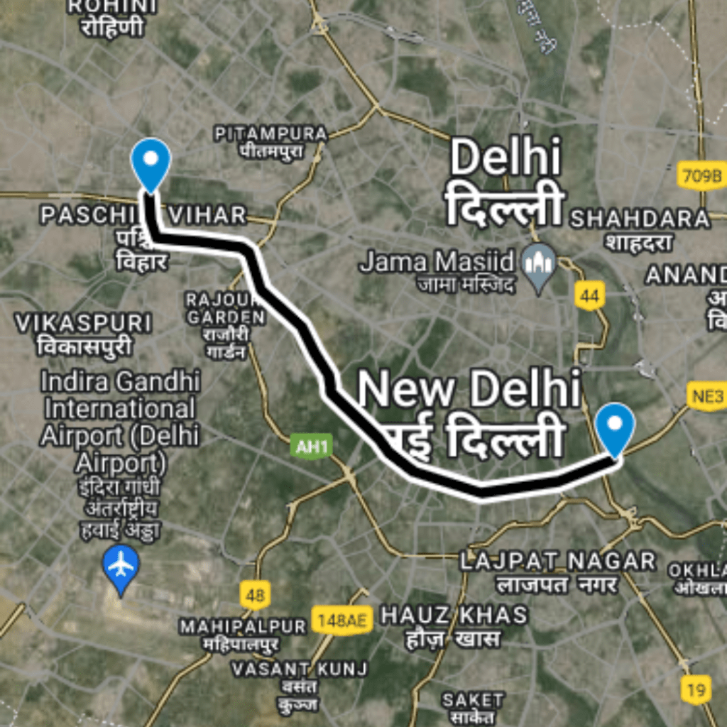
The primary objective of this route is to provide a direct and efficient pathway for commuters traveling between Punjabi Bagh and Karampura, thereby reducing overall travel times and minimizing traffic congestion along this corridor. This route serves not only daily commuters but also supports local business activities by improving access.
Route Map
DC Panjabi Bagh to Block I, Karampura
1
Starting Point: Punjabi Bagh
Latitude and longitude: 28.66744, 77.14045
2
Mid Point: Crossing on Sahibi River
Latitude and longitude: 28.66712, 77.14043
3
Ending Point: Block I, Karampura
Latitude and longitude: 28.66672, 77.14043
Benefits
Traffic Benefits
The DC Punjabi Bagh to Block I, Karampura route achieves a significant reduction in travel time, decreasing from an actual time of 5 minutes to just 0.5 minutes. This 90% decrease in travel time facilitates a drastic improvement in traffic flow and efficiency along this route. By reducing congestion, the route contributes to a decrease in vehicle emissions and enhances the overall quality of air. Additionally, it aids in reducing fuel consumption due to less time spent idling and in traffic.
Conclusion
The DC Punjabi Bagh to Block I, Karampura route is a vital infrastructure improvement that exemplifies the positive impact of targeted road development in urban settings. By significantly cutting down travel times for a crucial segment of the road network, it not only enhances the commuting experience but also supports wider city planning goals aimed at sustainable urban development. This route is an example of how thoughtful infrastructure investments can transform transportation dynamics in metropolitan areas, promoting a more efficient and environmentally friendly urban landscape.
Purposed Roads of India
Purposed Roads of North East India


