Crossing Districts
West Delhi
Purpose and Objectives
Purpose and Objectives
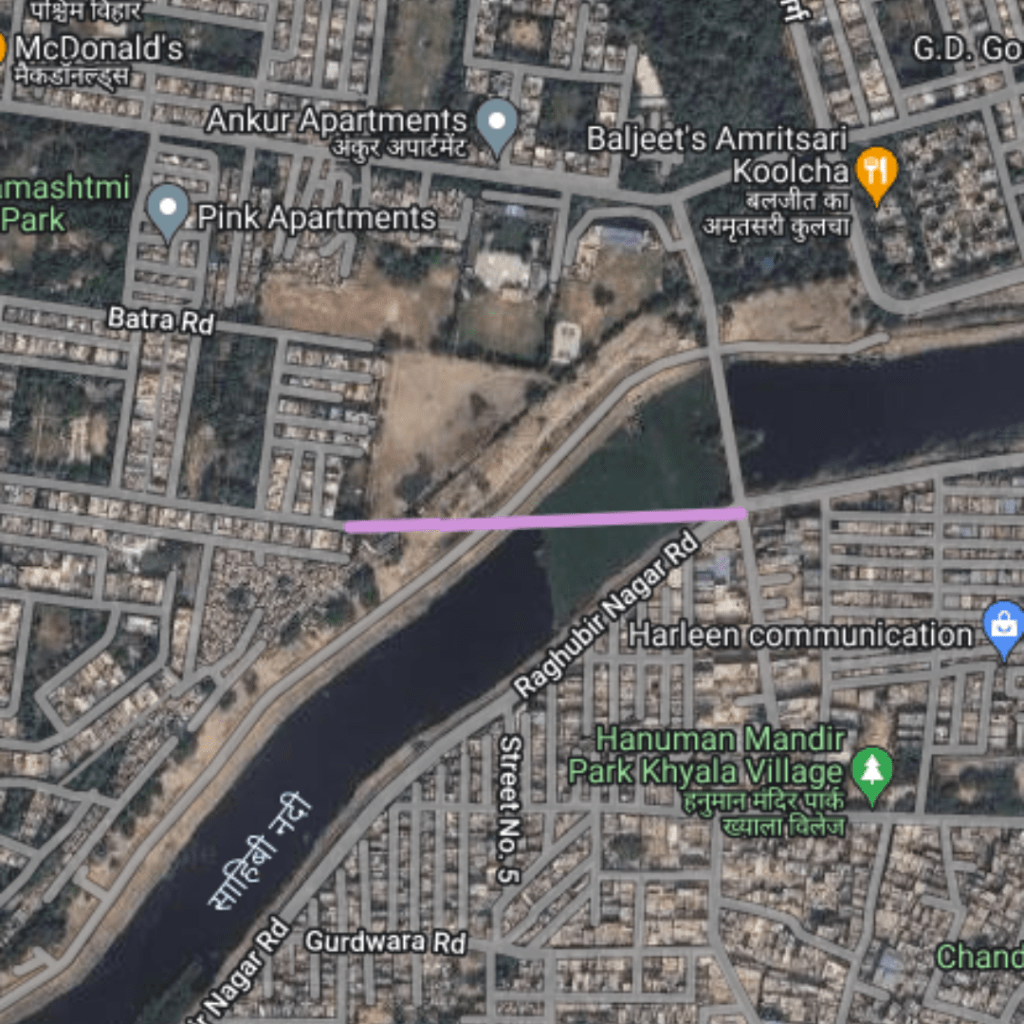
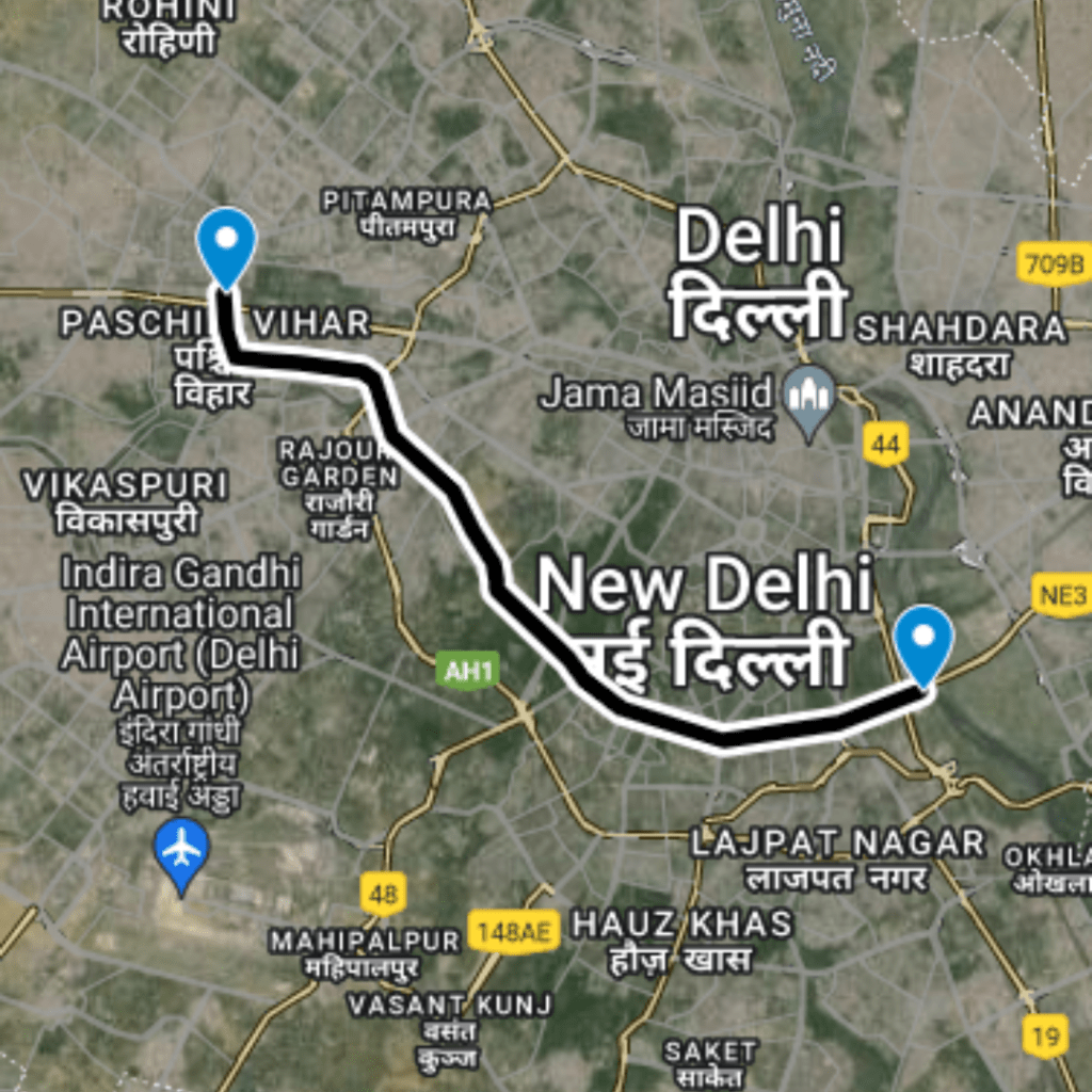
The primary goal of this route is to improve accessibility and reduce congestion on the roads between Paschim Vihar and Raghubir Nagar. By streamlining the traffic flow and providing a quicker transit option, the project aims to enhance the quality of life for residents and reduce transportation inefficiencies.
Route Map
DC Paschim Vihar to Raghubir Nagar
1
Starting Point: Paschim Vihar
Latitude and longitude: 28.65994, 77.09572
2
Mid Point: Crossing on Sahibi River
Latitude and longitude: 28.66001, 77.09772
3
Ending Point: Raghubir Nagar
Latitude and longitude: 28.66008, 77.09932
Benefits
Traffic Benefits
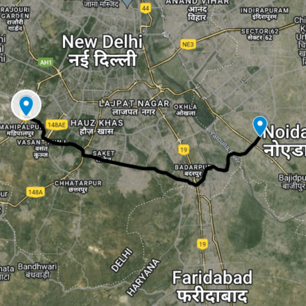
This route significantly reduces the actual travel time from 6 minutes to just about 0.21 minutes, achieving a 97% decrease in time spent traveling. Such a dramatic reduction facilitates smoother traffic flow and reduces the likelihood of congestion. The reduced travel time not only saves fuel but also minimizes the environmental impact through lower emissions. Moreover, the route alleviates pressure on adjacent roads, contributing to improved traffic conditions across the broader West Delhi area.
Conclusion
The DC Paschim Vihar to Raghubir Nagar route is an exemplary project that showcases the benefits of targeted urban planning and road development. By offering a rapid connection between two populous areas, this route not only improves daily commuting experiences but also supports broader goals for sustainable urban mobility. This project underscores the potential of thoughtful infrastructure enhancements to transform urban transportation networks and enhance the efficiency of city life.
Purposed Roads of India
Purposed Roads of North East India


