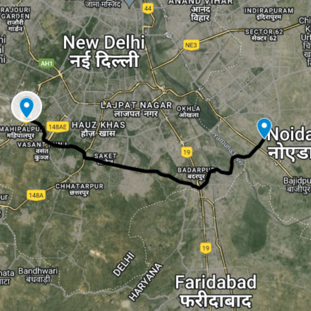
Crossing Districts
North West Delhi
Purpose and Objectives
Purpose and Objectives
The primary goal of this initiative is to cut down travel times and ease congestion in one of the densely populated parts of the city. By optimizing the route between Rohini Sector 24 and Rithala, the project aims to enhance daily commuting experiences, reduce vehicular emissions, and improve overall traffic flow.
Route Map
DC Rohini Sector 24 to Rithala
1
Starting Point: Rohini Sector 24
Latitude and longitude: 28.72194, 77.09701
2
Mid Point: Crossing on Nala Rd
Latitude and longitude: 28.72141, 77.09786
3
Ending Point: Rithala
Latitude and longitude: 28.72121, 77.09816
Benefits
Traffic Benefits
This route significantly reduces the actual travel time from 7 minutes to just 0.8 minutes, translating to an 89% decrease. The impact of this reduction is profound, offering substantial time savings daily for hundreds of commuters. This efficiency not only alleviates stress for drivers but also contributes to lower carbon emissions due to reduced idle times and smoother traffic flow. Additionally, the improved road connectivity can potentially enhance emergency response times and increase accessibility to key services and amenities in the area.
Conclusion
The DC Rohini Sector 24 to Rithala route stands as a testament to the positive changes that strategic urban planning and infrastructure improvement can bring to a community. By providing a quick and efficient travel option, this route directly contributes to enhanced urban mobility and quality of life for the residents of Rohini. It serves as a model for other urban areas facing similar challenges, highlighting the importance of targeted road development in managing urban sprawl and traffic congestion.
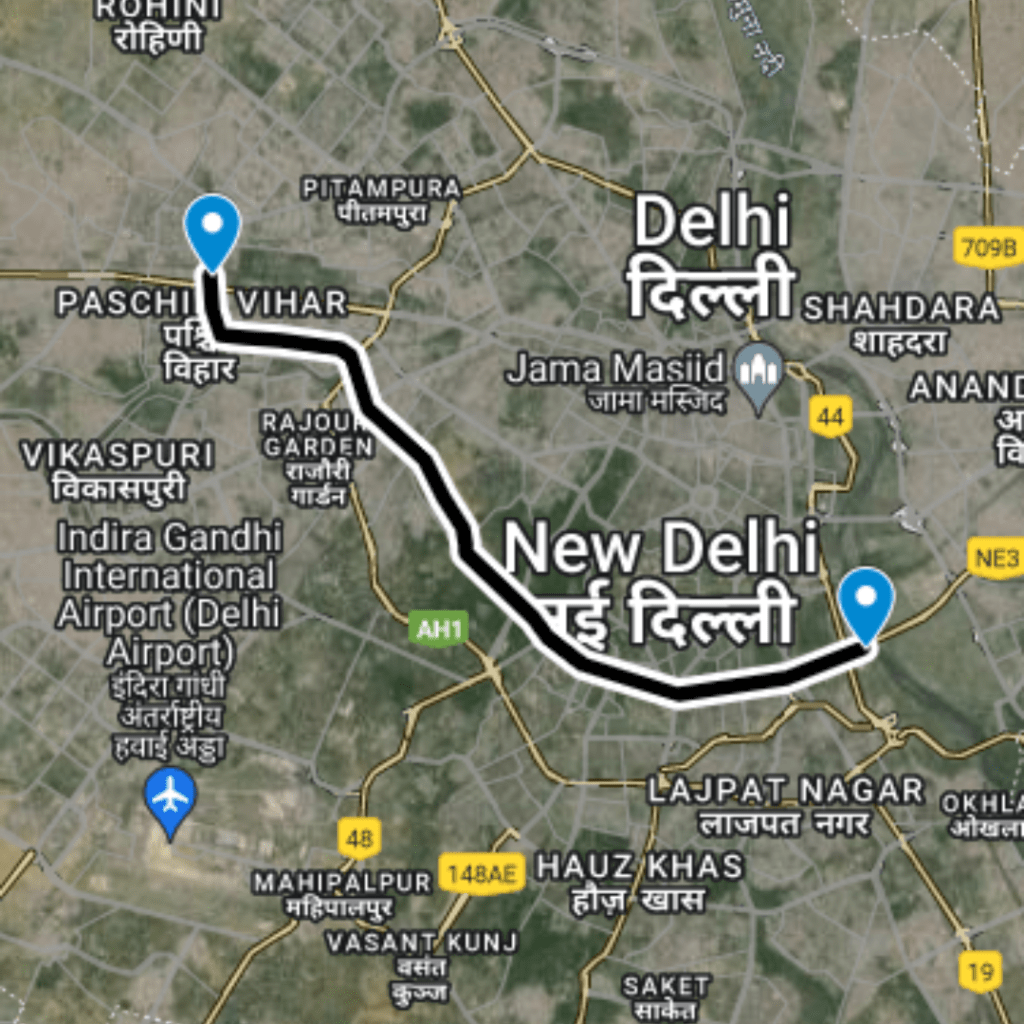
Purposed Roads of India
Purposed Roads of North East India