Crossing Districts
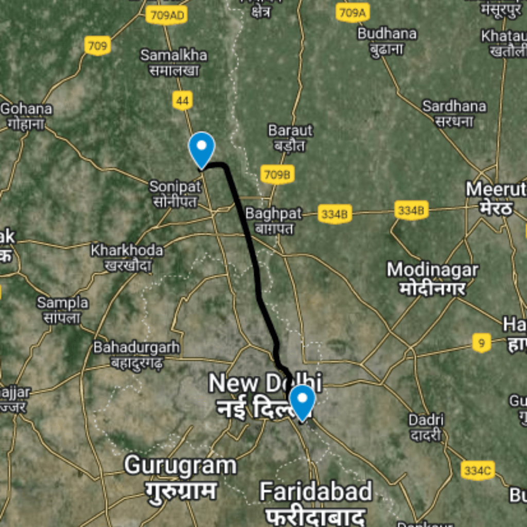
North West Delhi, Jhajjar (Haryana), South West Delhi
Purpose and Objectives
Purpose and Objectives of Delhi Haryana Drain Road: Enhancing Connectivity and Efficiency
The Delhi Haryana Drain Road, with its extensive reach connecting North West Delhi, Jhajjar in Haryana, and South West Delhi, serves as a pivotal infrastructure project designed to address multiple challenges and enhance regional connectivity. Here are the key points outlining its purpose and objectives:
**1. Efficient Traffic Flow:
- Objective: To reduce congestion and enhance the efficiency of traffic flow in the connected districts.
2. Reducing Time Constraints:
- Objective: To minimize travel time for commuters, providing a faster and more direct route.
3. Alleviating Traffic Stress:
- Objective: To manage and mitigate stress associated with regular commuting, contributing to a smoother daily experience for the public.
4. Enhancing Regional Connectivity:
- Objective: To strengthen the connectivity between districts, fostering economic development and social integration.
5. Specific Areas of Impact:
- Objective: To identify and address specific areas where traffic lights can be minimized, leading to a more seamless and uninterrupted traffic flow.
6. Time Savings:
- Objective: To save valuable time for commuters by offering an optimized route with reduced travel time.
7. Economic Growth:
- Objective: To contribute to economic growth by facilitating quicker and more efficient transportation of goods and services.
8. Public Satisfaction:
- Objective: To enhance public satisfaction by providing a well-planned, time-efficient, and stress-free transportation network.
9. Stress Reduction for Commuters:
- Objective: To manage and reduce stress levels associated with daily commuting, leading to an improved overall quality of life.
10. Environmentally Conscious Planning: - Objective: To promote environmentally sustainable practices in road construction and traffic management.
11. Road Safety Measures: - Objective: To implement road safety measures, ensuring the well-being of commuters and minimizing accidents.
12. Connectivity to Key Areas: - Objective: To ensure connectivity to key areas, such as industrial zones, educational institutions, and residential complexes, fostering holistic development.
Conclusion: The Delhi Haryana Drain Road is not merely a stretch of asphalt; it symbolizes a strategic vision aimed at transforming the region's transportation landscape. By addressing critical issues related to traffic congestion, travel time, and overall connectivity, the road aligns with the broader objectives of enhancing public satisfaction, promoting economic development, and fostering a sustainable and efficient transportation network.
Route Map
Delhi Haryana Drain Road
|
Proposed Interchanges
Total Interchange Point : 4
1.Start from Interchange On Kanjhawala Road , Latitude and longitude : 28.73823, 77.00056
2. Interchange On Delhi - Rohtak Corridor , Latitude and longitude :28.68988, 76.94449
3. Interchange On Najafgarh Road , Latitude and longitude :28.63081, 76.9996
4. Interchange On Nala Road Sahibi River Expressway , Latitude and, longitude :28.62596, 77.02317
Purposed Roads of India
Purposed Roads of North East India


