Crossing Districts
North West Delhi
Purpose and Objectives
Purpose and Objectives of Kanjhawala Rohini Road:
The Kanjhawala Rohini Road project is strategically designed with specific goals to address traffic challenges, enhance connectivity, and improve the overall transportation experience for residents and commuters in the targeted areas.
Key Points:
- Traffic Congestion Alleviation: One of the primary objectives of the Kanjhawala Rohini Road project is to alleviate traffic congestion in key sections of the existing road network. By creating additional lanes and optimizing traffic flow, the project aims to reduce delays and enhance the overall efficiency of transportation.
- Reduction of Red Lights: The project focuses on minimizing the occurrence of red lights at critical intersections along Kanjhawala Rohini Road. This reduction is expected to streamline traffic movement, resulting in a more continuous flow and less waiting time for commuters.
- Surrounding Areas: The Kanjhawala Rohini Road project is anticipated to benefit several surrounding areas, including:
- Kanjhawala
- Rohini
- Narela
- Budhanpur Majra
- Daryapur Kalan
Quantifiable Impact:
- Time Savings: Commuters using Kanjhawala Rohini Road can expect significant time savings compared to conventional routes. The creation of additional lanes and the reduction of red lights are aimed at minimizing travel times and improving overall transportation efficiency.
Benefits for Surrounding Areas:
- Enhanced Connectivity: Residents and businesses in Kanjhawala, Rohini, Narela, Budhanpur Majra, and Daryapur Kalan will experience improved connectivity due to the road project. This is expected to result in more convenient and faster transportation within these areas.
Public Satisfaction and Traffic Stress Management:
- Improved Public Satisfaction: The completion of the Kanjhawala Rohini Road project is expected to enhance public satisfaction by providing a smoother and more efficient transportation experience.
- Effective Traffic Stress Management: With the reduction of traffic congestion and optimized traffic flow, the project aims to manage traffic stress effectively. Commuters can anticipate a more relaxed and predictable journey, contributing to an overall improved commuting experience.
In summary, the Kanjhawala Rohini Road project aims to address traffic challenges, reduce congestion, and enhance connectivity for residents and commuters in Kanjhawala, Rohini, Narela, Budhanpur Majra, and Daryapur Kalan. The expected benefits include significant time savings for commuters, improved connectivity for surrounding areas, and heightened public satisfaction with the overall traffic management in the region.
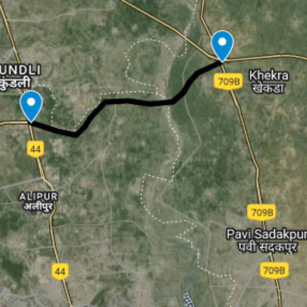
Route Map
Kanjhawala Rohini
|
Proposed Interchanges
Total Interchange Point : 2
1.Start from Interchange On Amritsar Expressway Extension , Chatesar village , Latitude and longitude :28.75847, 76.97219
2. Interchange On UER II Service line , Latitude and longitude : 28.75201, 77.05403