Crossing Districts
North Delhi, North West Delhi
Purpose and Objectives
The North West Linking Road serves multiple purposes, contributing significantly to the region's transportation infrastructure:
- Enhanced Connectivity: It acts as a vital link, seamlessly connecting areas in North Delhi and North West Delhi, fostering improved regional connectivity.
- Time Efficiency: With a travel time of just 17 minutes over its 16.8 km stretch, the expressway ensures time efficiency for daily commuters.
- Reduced Traffic Congestion: By providing alternative routes and interchanges strategically placed, the road aids in dispersing traffic and alleviating congestion.
- Regional Development: The expressway plays a role in the overall development of the region, promoting economic activities and accessibility to various amenities.
The North West Linking Road stands as a testament to effective urban planning, catering to the growing needs of a bustling city. Its carefully designed interchanges and efficient travel times make it an indispensable asset for the residents and businesses in North Delhi and North West Delhi.
Route Map
North West Linking Road
-
1
Starting from Main Pushta Road, Bhalswa
(Latitude and longitude: 28.73826, 77.15945): Begin your journey at Main Pushta Road in Bhalswa, a key starting point.
-
2
Passing from Jahangirpuri
(Latitude and longitude: 28.73484, 77.15398): Travel through Jahangirpuri, fostering connectivity in this locality.
-
3
Passing from Haider Pur Badli
(Latitude and longitude: 28.73008, 77.14667): Traverse through Haider Pur Badli, contributing to the overall accessibility of the region.
-
4
Crossing On Western Yamuna Canal Road, Badli
(Latitude and longitude: 28.72958, 77.13825): Navigate across the Western Yamuna Canal Road in Badli, ensuring smooth travel along the expressway.
-
5
Passing From Rohini, Sector 16
(Latitude and longitude: 28.73467, 77.11764): Drive through Rohini, Sector 16, enhancing connectivity in this area.
-
6
Passing From Rohini, Sector 25
(Latitude and longitude: 28.72634, 77.10002): Continue through Rohini, Sector 25, contributing to the overall accessibility of the region.
-
7
Passing From Budh Vihar
(Latitude and longitude: 28.71192, 77.09424): Drive through Budh Vihar, fostering connectivity and accessibility in this locality.
-
8
Passing Between Sultan Puri - Mangolpuri
(Latitude and longitude: 28.69374, 77.08033): Traverse through the corridor between Sultan Puri and Mangolpuri, ensuring seamless travel options.
-
9
Crossing On Metro Line, Nangloi
(Latitude and longitude: 28.68166, 77.07638): Navigate across the Metro Line in Nangloi, ensuring smooth travel along the expressway.
-
10
Passing From Peera Garhi
(Latitude and longitude: 28.67427, 77.07749): Drive through Peera Garhi, contributing to the overall connectivity of this region.
-
11
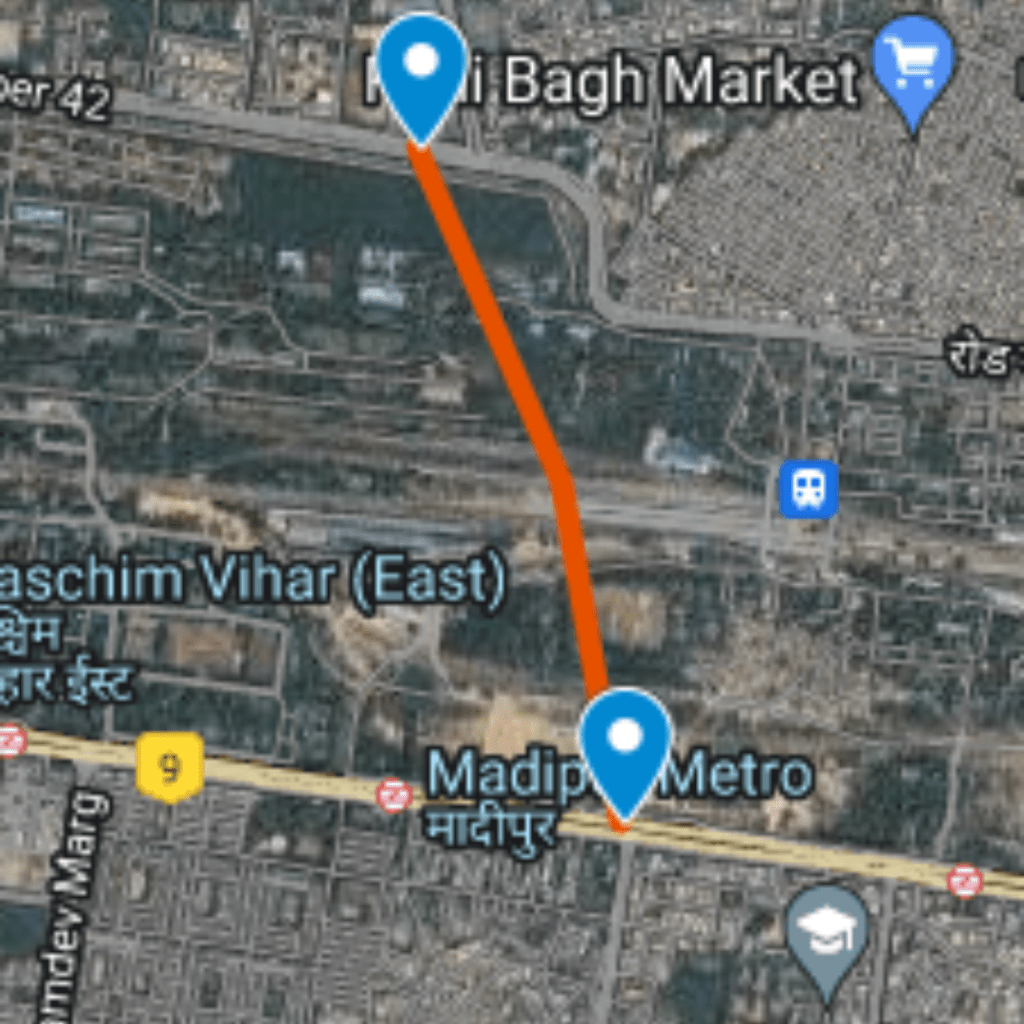
Passing From Paschim Vihar
(Latitude and longitude: 28.66742, 77.07823): Travel through Paschim Vihar, enhancing connectivity in this locality.
-
12
Ending From Nala Road, Saiyed Village
(Latitude and longitude: 28.65536, 77.08186): The journey concludes at Nala Road in Saiyed Village, marking the endpoint of the North West Linking Road journey.
Proposed Interchanges
Total Interchange Point : 6
1.Start from Interchange On Main Pushta Road , Bhalswa, Latitude and longitude :28.73826, 77.15945
2. Interchange On Outer Ring Road, Bhalswa Jahangirpuri, Latitude and longitude :28.7358, 77.15542
3. Interchange On Bhagwan Mahvir Marg - Rithala , Latitude and longitude : 28.72617, 77.09974
4. Interchange On Rohtak Road, Udyog Nagar, Latitude and longitude : 28.68189, 77.07637
5. Interchange On Nala Marg , Latitude and longitude :28.65537, 77.08184
6 Interchange On Kanjhawala Road , Latitude and longitude : 28.70383, 77.08797


